Zoo Interchange Platting
Planning, Survey, Transportation | Wisconsin | Back
Challenge
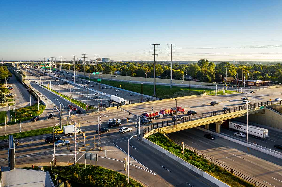
Kapur was a partner in the joint venture that delivered the study and design for the Zoo Interchange reconstruction, performing tasks from initial data gathering during the study, preliminary and final design, and construction. Our staff was solely responsible for the platting of 11.5 miles of freeway, which required research on 633 parcels, where 28 utility companies held land rights.
Solution
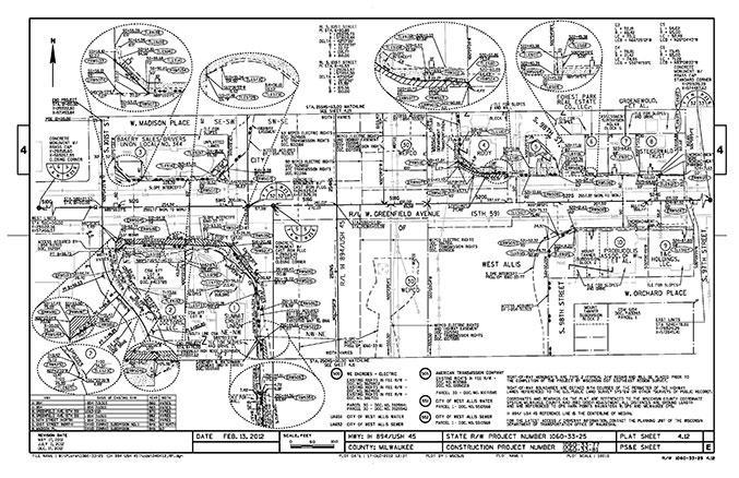
Four separate right-of-way plats were developed to identify the real estate and utility interests for this project. With numerous acquisitions throughout the project, and easements required for the 28 utility companies within the project limits, it is no surprise the utility coordinators were overwhelmed by the complexity and timing of the 18 individual plan sets.
To aid the utility coordination effort, our team leveraged the all-encompassing GIS that was already in development. For utility coordination, we tracked communication with appraisers, real estate agents with interest in the project, and municipal officials providing direction and goals. The website allowed our team to instantly search where each utility impacted a property, was found within the right-of-way, or if an easement existed.
Services Provided
- Right-of-way plat development
- Title research
- Easements
- CSM
- ALTA survey
- Field survey
- Utility coordination
Industries Covered
- Planning
- Transportation
- Survey
Results
These early adoptions of readily used and understood tools for both plat development and utility coordination were a tremendous success for the Zoo Interchange project. This approach created efficiencies during the project and built data and deliverables that can be leveraged for future projects.


