Lakeshore Lateral Pipeline GIS
GIS, Power & Energy, Survey, UAV | Wisconsin | Back

Challenge
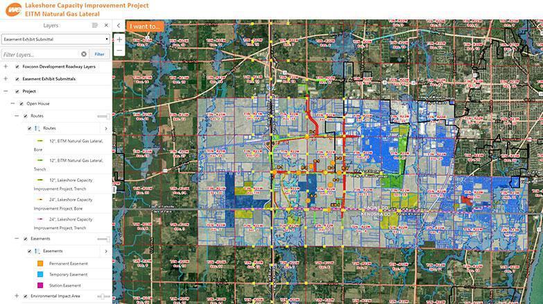
Kapur provided a GIS website, mapping two potential routes for the We Energies Lakeshore Lateral Pipeline totaling 90+ miles through Racine, Kenosha, and Walworth Counties in Southeastern Wisconsin. The routes extend from I-94 North-South in Racine County to the City of Whitewater in Walworth County.
Solution
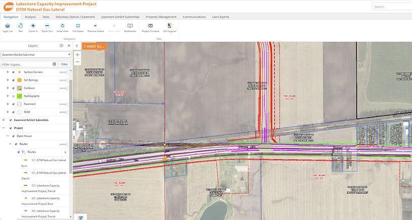
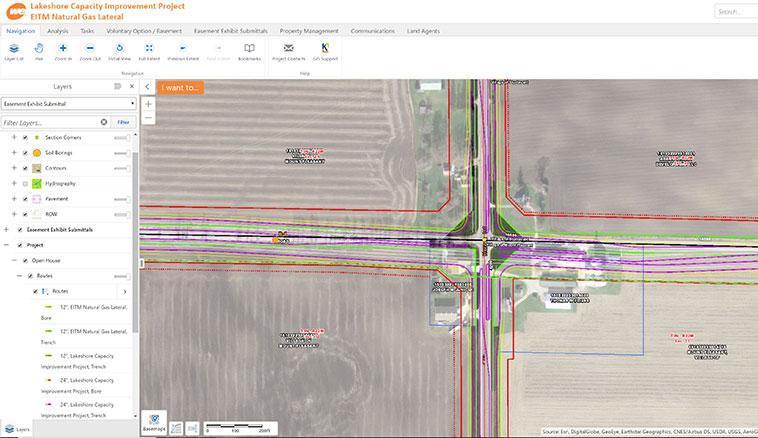
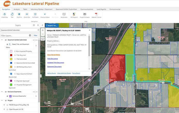
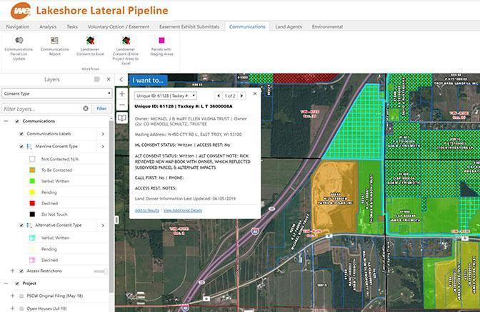
The GIS was developed to track the properties along the routes along either by parcel number or property owner as well as the status of title requests, the approved easement document, and other relevant information. All interactions with property owners are updated in real-time so they are always available for the entire project team to see at a moment’s notice.
All updates are performed with workflows used directly on the site and are accessible only to staff with appropriate permissions. These workflows automatically change symbology on the site for each action performed. They automatically deliver alert emails to the appropriate staff detailing the action taken and by whom. This lets them know the status and determine when they can start responsibilities related to an individual property. Several departments within We Energies, as well as contractors working as part of the project team, access the GIS to ensure the efficient progress of the project.
Services Provided
- Survey
- GIS
- Easements
- Gas main design
Industries Covered
- GIS
- Survey
- Power & Energy
Results
The primary benefit of the GIS is that everyone receives the most up-to-date information. This greatly reduces the time spent locating relevant data and time wasted by using outdated data, both of which can be extremely challenging aspects of massive projects.